
The Lyngen Alps in a nutshell
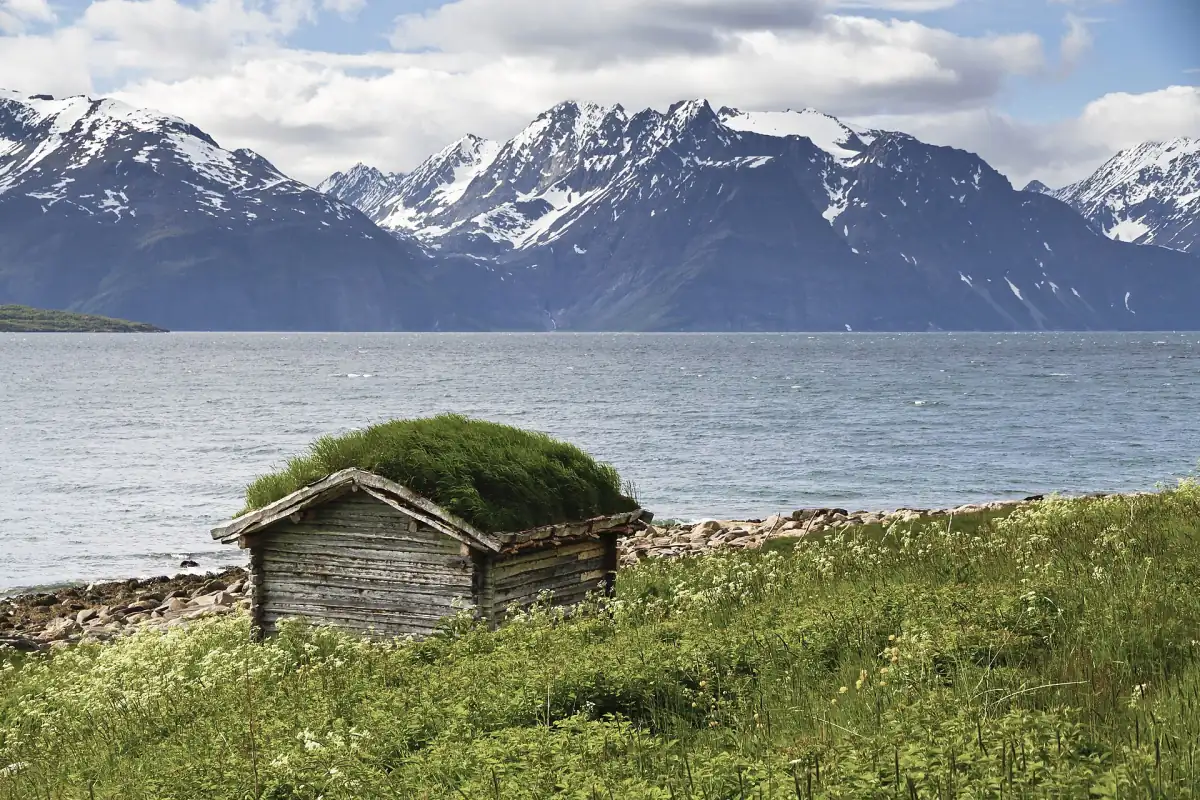
The Lyngen peninsula lies between the Ullsfjord and Sørfjord in the west and the Lyngenfjord and Storfjord in the east. The mountain range on it is about 80 km (50 miles) long, while the peninsula is at most 15 km (9 miles) wide. The highest peak, Jiehkkevárri, reaches 1,834 m (6,017 ft). The area has been a protected landscape since 2004 and covers 961.2 km² (371 sq mi). It is a landscape protection area, not a national park.
This guide covers what visitors usually come for: ski touring in spring, summer and autumn hikes, boat trips and villages on the fjord, northern lights away from the city, and the ferries from Tromsø. It is an independent site, not run by the municipality, a lodge, a guiding company or a tour operator.
What to know for 2026
Points where older guides are out of date. Status October 2026.
New ferry fares
New tariffs have applied on the ferry lines since 1 January 2026. People on foot and bicycles travel free on lines 190 and 191, while a car up to 6.0 m (20 ft) pays NOK 104 on the Breivikeidet to Svensby crossing and NOK 152 from Lyngseidet to Olderdalen, one way, without a discount.
Getting there →No reserved car spaces
Private cars cannot reserve a place on the car ferries. The space guarantee that exists for fast boats since 1 February 2026 does not apply to them. Since June 2026 an online map shows the expected free space on departures, as a rough guide only.
Ferry details →Avalanche warnings are seasonal
The regional warning for Lyngen is issued daily from 1 December to 31 May. Outside that period it can show "Not assessed / No Rating", which does not mean low danger. The issue read on 19 October 2026 showed exactly that status.
Ski touring and safety →Parking fees at trailheads
The municipality charges NOK 50 for the first hour, then NOK 30 per hour, up to NOK 250 per day at its nature car parks in 2026. That is unchanged from 2025. A 12-month pass costs NOK 300.
Hiking guide →Our picks: Lyngen tours
A guided hike to the Blue Lake, a sightseeing day from Tromsø and a snowmobile safari.
Hand-picked tours, booked through GetYourGuide. Prices are indicative starting prices in euros (as of October 2026). Tap a tour for live availability and the current price in your currency.
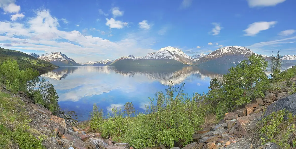
Lyngen Alps sightseeing trip with a warm lunch
A short ferry ride, a nine-seater for the sightseeing, a warm lunch with a vegetarian option, plus a guide and photographer.
Check availability →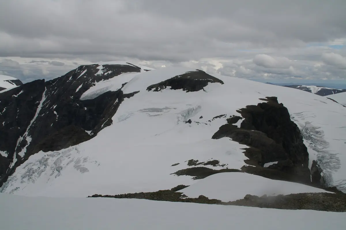
Full-day snowmobile safari in the Lyngen Alps
Transport from Tromsø including the ferry, hot drinks, a snack, vegan soup, gear and a guided ride. Snowmobiles are shared, even on a single booking, and the price is per person.
Check availability →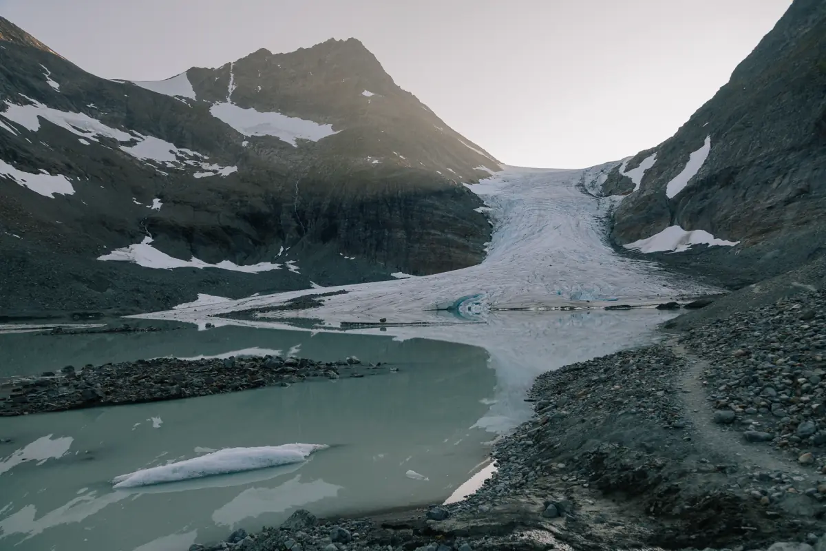
Guided hike to the Blue Lake with two ferry rides
Two ferry rides, a guided hike, a hot drink with local pastry and minibus transport with a driver.
Check availability →Lyngen tours and day trips
Guided hikes, snowmobile safaris, boat trips and northern lights outings in the Lyngen Alps, with live prices and availability.
Plan your trip
Pick the page that matches your season.
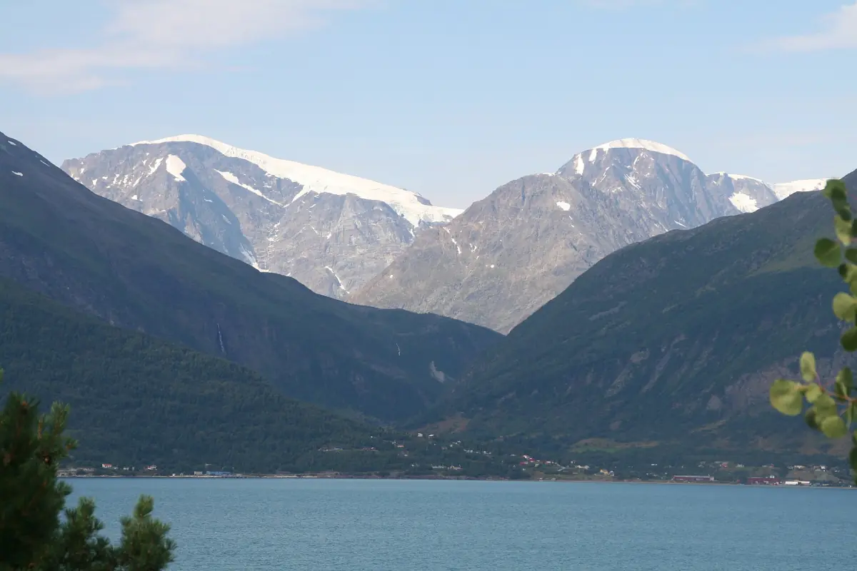
Ski touring
Seasons, avalanche warnings, equipment and why to hire a local guide.
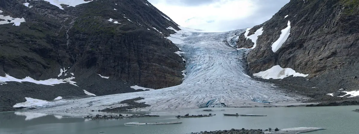
Hiking
Blåisvatnet, Steindalen, Lyngstuva and the rules that apply in the protected area.
The Lyngenfjord
Villages, boat trips and viewpoints on both sides of the peninsula.
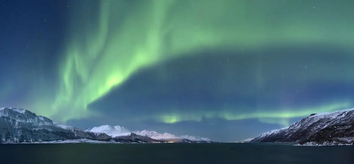
Northern lights
Season, hours and how to pick a dark spot, without any guarantee.
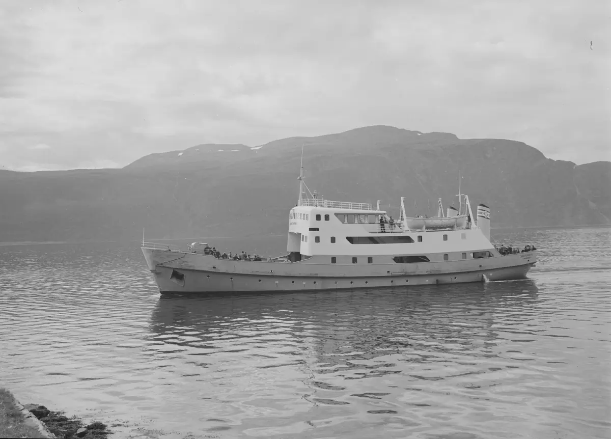
From Tromsø to Lyngen
Ferries, driving routes, fares for 2026 and the bus lines.
Where to stay
Villages, lodges and cabins, sorted by location.
How the area works
Only a few trails in the protected area are marked. Many other paths are unmarked or follow animal tracks, so this is not a mountain range with a signposted network. The right to roam lets you walk and ski across open country if you show consideration, but it gives no claim to free parking, huts or guided services.
Drones and radio-controlled aircraft are not allowed in the protected area. Dogs have to be kept on a leash during the leash period, which in Lyngen runs past 15 October. Camp at least 150 m (490 ft) from houses and cabins, and generally no more than two nights at the same place.
Most visitors arrive from Tromsø. The city and its airport have their own guide at Tromsø, and wider routes through the region are covered by Northern Norway. Whichever way you come, count on ferries and mountain roads, and plan more time than the map suggests.
More independent Norway guides
Separate guides from the same team, each focused on one region.
Tromsø
The Arctic city: northern lights tours, whales and dog sledding.
Northern Norway
Lofoten, the North Cape, Hurtigruten and the northern lights.
Norwegian Fjords
Geiranger, Nærøyfjord, the Flåm Railway and Preikestolen.
Stryn, Loen and Olden
Loen Skylift, Briksdal and the glaciers of the Nordfjord.
Lofoten Islands
Fishing villages, the Trollfjord, midnight sun and northern lights.
Lake Mjøsa
The Skibladner paddle steamer, Lillehammer, Hamar, Gjøvik and Norway's largest lake.
Bryggen, Bergen
Bergen's Hanseatic wharf: museums, Fløibanen, fjord cruises and the Flåm Railway.
Sognefjord, Flåm
Norway's longest fjord: the Flåm Railway, Nærøyfjord cruises, Stegastein and Norway in a Nutshell.
Lyngen Alps: frequently asked questions
When is the best time to visit the Lyngen Alps?
That depends on the activity. Ski touring has its high season in March and April according to a regional operator, with Visit Norway giving February to the end of May. Hiking suits summer and autumn. Northern lights need dark nights, from about mid-August to mid-April. See the pages on ski touring, hiking and northern lights.
How do I get from Tromsø to Lyngen?
By car via a ferry from Breivikeidet to Svensby, or by road via Oteren and road 868 without a ferry. From Olderdalen on the E6 a ferry runs to Lyngseidet. Buses 150, 460 and 465 are listed for 17 August to 31 December 2026. See getting there.
Do I need a guide for ski touring?
It is a safety recommendation. Visit Norway advises a qualified local ski guide even for experienced skiers in unfamiliar terrain. Read the ski touring page before you plan.
Is Blåisvatnet the same place as the glacier lake in Steindalen?
No. Blåisvatnet lies near Sør-Lenangsbotn, while Steindalen leads to the Steindalsbreen glacier. Both are covered on the hiking page.
Can I see the northern lights in Lyngen?
Sometimes, but nobody can promise it. You need darkness, a clear sky and a free view to the north. The northern lights page explains the season and the hours.
Is visit-lyngenalps.com run by the municipality or a tour operator?
No. This is an independent travel guide with no link to the municipality, the protected area administration, a lodge, a guiding company or a tour operator.