Hiking in the Lyngen Alps at a glance
The protected area administration describes only a few marked trails. Many other paths are unmarked or are animal tracks, so do not treat the range as a signposted network. The two best known day walks are easy to mix up. Blåisvatnet, the Blue Lake, lies near Sør-Lenangsbotn. Steindalen is a separate valley and leads to the Steindalsbreen glacier.
Times and distances come from regional descriptions and the protected area administration, and several are rounded or differ between sources. Status October 2026.
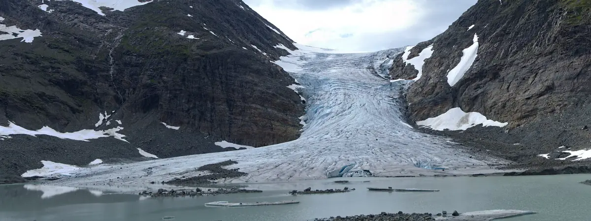
The main walks compared
Distances are one way unless stated.
| Walk | Start | Distance | Time |
|---|---|---|---|
| Blåisvatnet | Car park at Sør-Lenangsbotn, signed Lyngsalpan | 4 km (2.5 miles) | About 90 min up and 60 min back, listed as 3 hours |
| Aspevatnet | Car park with shelter, toilet, benches and fire pit | About 1 km (0.6 miles) | – |
| Steindalen to the hut | Akselstua community house, off road 868 | 2.4 km (1.5 miles) | – |
| Steindalen to the glacier | Same start | 6.2 km (3.9 miles), 12.4 km return | 5 to 7 hours |
| Lyngstuva | Russelv, public car park | – | – |
Our picks: guided hikes
Two full-day hikes to the Blue Lake area, both starting in Tromsø.
Hand-picked tours, booked through GetYourGuide. Prices are indicative starting prices in euros (as of October 2026). Tap a tour for live availability and the current price in your currency.
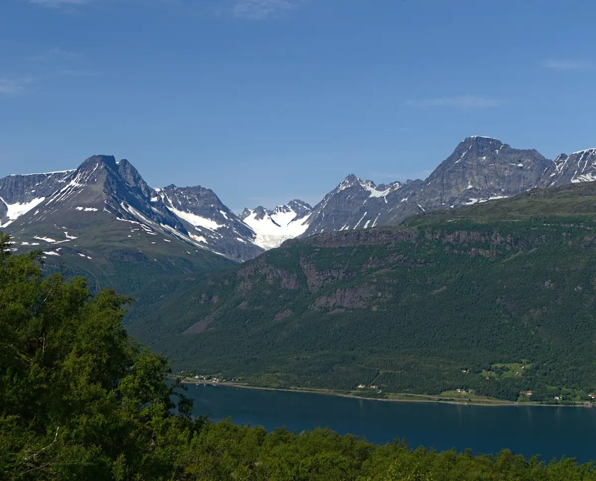
Guided hike to Blåisvatnet from Tromsø
Van transport, a ferry crossing and a guide for the hike. Nothing is listed as excluded.
Check availability →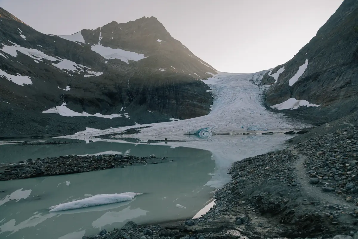
Guided hike to the Blue Lake with two ferry rides
Two ferry rides, a guided hike, a hot drink with local pastry and minibus transport with a driver.
Check availability →Hiking tours in the Lyngen Alps
Guided hikes to the Blue Lake and other day trips into the Lyngen Alps, with live prices and availability.
Blåisvatnet, the Blue Lake
The path starts at the car park at Sør-Lenangsbotn and follows red markings. The ground is stony, with big boulders near the end. The difficulty is given as medium. The walk suits summer and autumn. From Tromsø, operators give 2 to 2.5 hours for the drive including a ferry.
In winter the lake is hidden under snow and ice, and the ice usually stays until early June. A winter description gives 3 to 4 hours and recommends skis, or snowshoes as an alternative. It also asks you to check the weather and the avalanche situation first, see ski touring. The route is not a level promenade and not suitable for wheelchairs. Whether to swim is your own decision: the water is cold and ice may remain in spring.
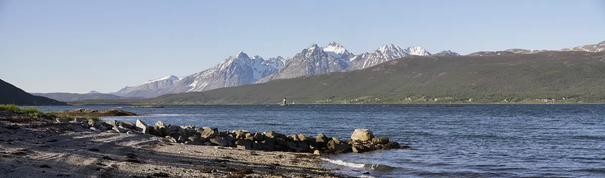
Steindalen and the Steindalsbreen glacier
Take road 868 between Oteren and Lyngseidet and follow the sign to the IMA Tursenter. The tour description suggests parking at the Akselstua community house. The way to the Steindalshytta is 2.4 km, and the glacier is 6.2 km one way. The highest point is given as 480 m (1,575 ft). One regional page says 5 to 6 hours in its text and 5 to 7 hours in its table, so plan for the longer figure.
A hike to the glacier edge is not a glacier walk. The administration requires safety equipment on the ice and warns against going on without experience. Step onto the ice only with a guide. Keep dogs on a leash in Steindalen and keep a reasonable distance from reindeer.
Other goals: Aspevatnet, Lyngstuva, Lyngsdalen
Aspevatnet is a shorter option of about 1 km one way from the car park, with a shelter, a toilet, benches and a fire pit. Lyngstuva is reached from Russelv. A public car park with toilets and information is there, and at the end stand a lighthouse and a simple lighthouse hut that anyone may use. The view is over the sea and the islands, including Nordfugløya. For more on this part of the coast, see the Lyngenfjord page.
For Lyngsdalen the administration warns of considerable landslide risk and dangerous crossings of glacier rivers. This does not mean the valley is closed, but plan carefully and ask locally.
Parking, rules and nature
At its nature car parks the municipality charges NOK 50 for the first hour, then NOK 30 per hour, with a maximum of NOK 250 per day in 2026. This is unchanged from 2025. A pass for 12 months costs NOK 300 including VAT and is tied to one registered car, valid at the municipal EasyPark car parks. The Blåisvatnet lot is listed with EasyPark and Parkly. App service fees are added by the payment platform, so the final amount can be higher than the base fee.
- Drones and radio-controlled aircraft are not allowed in the protected area. Motorized travel, e-bikes included, is generally banned.
- Camp at least 150 m (490 ft) from houses and cabins, normally for up to two nights in the same place. Farmland needs permission.
- Dogs on a leash from 1 April to 20 August, in Lyngen past 15 October. Show consideration for grazing animals all year.
- Fires are restricted from 15 April to 15 September. Take your litter and close gates.
Midnight sun is given by one regional operator as 20 May to 22 July, and another page says 25 July, so treat the end date as approximate. For the way in from Tromsø, see getting there. If you want a base near the trails, read where to stay. Other trekking regions of the north, such as Senja, are covered in their own guides, and the city side is at Tromsø.
Hiking in Lyngen: frequently asked questions
Where is the Blue Lake in Lyngen?
Blåisvatnet lies near Sør-Lenangsbotn. It is not the lake at the Steindalsbreen glacier, which is reached through Steindalen.
How long does the Blåisvatnet hike take?
The summer description gives about 90 minutes up and 60 minutes back, and 3 hours in the overview. The walk is 4 km one way. In winter, plan 3 to 4 hours and take skis or snowshoes.
Can I walk on the Steindalsbreen glacier?
Walking to the glacier is not the same as walking on it. The administration requires safety equipment on the ice and warns against going without experience, so go with a guide.
Is the lake blue all year?
No. In winter the water is hidden under snow and ice, and the ice usually lasts until early June.
What does parking cost at the trailheads?
At municipal nature car parks the fee is NOK 50 for the first hour, then NOK 30 per hour, up to NOK 250 per day in 2026. Payment apps can add a service fee.